About the IGS Network
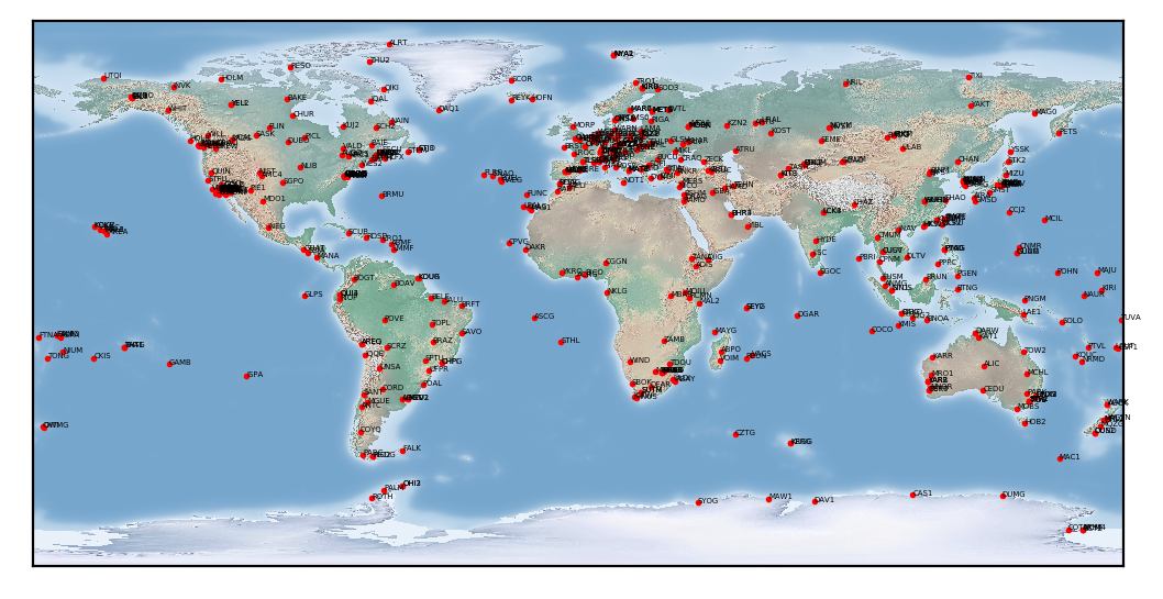
The IGS Network system currently serves as the public interface for any user from all over the world to view station metadata through a comprehensive station list and interactive station map. The IGS collects, archives, and freely distributes Global Navigation Satellite System (GNSS) observation data sets from a cooperatively operated global network of ground tracking stations.
Station data is archived and distributed by the IGS Data Centers. Map data availability provided by CDDIS.

Introducing the IGS Network 2.0!
Last year, the IGS identified issues in the current Site Log Manager (SLM) and Network page, which included outdated technology that was soon to be deprecated and limited support for possible new features needed. As a result of research on new technologies and extensive user interviews/testing, the CB was able to develop the necessary improvements for each system. Key changes include:
- NEW URL – the IGS Network map and station information pages are now under https://network.igs.org
- Using the latest technology – developed the new network system with the same programming language and database as the SLM for better integration between the two systems and better sustainability
- New and improved single-page layout – restructured the network system components and combined them into a fullscreen, single-page layout where users can view all the components all in one place and be able to adjust the width and height of each component.
- Improved interactive Map – using a robust mapping system, Mapbox GL JS, developed a new interactive map that provides clearer vector tiles, cohesive map layers, multiple different map projections, polygon tool selection, the ability to “fly” between stations, and high-resolution map exporting
- Improved customizable station list/table – located on the right sidebar by toggling the “Station Table” button, a station list/table with sorting and filtering capabilities and now has the ability to configure column visibility, select multiple stations to be displayed on the interactive map, and easily export the table and their selections
- Improved access to additional station information– easily access more station information by clicking on or flying to a station and clicking “Station Info” button or by toggling the “Station Overview” sidebar. To view the station information in a full size screen, click on the “New Tab” button in the top right of the station overview sidebar.
- Improved filtering – stations can now be more easily filtered along a range of geographic and meta data parameters. The IGS looks forward to further improving this in the future.
- State Saving – save the state of the map projections/layers and searched/filter stations by clicking the copy link icon next to the “Filter” button
A detailed user guide and tutorial will be coming soon. We appreciate any and all feedback. To report feedback, bugs, or issues for the Network 2.0, please report it on our SLM GitHub repository: https://github.com/International-GNSS-Service/SLM/issues
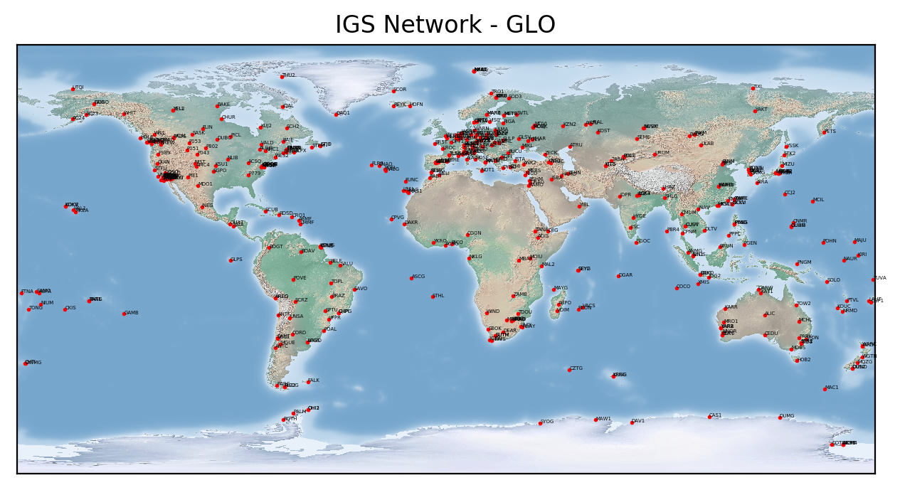
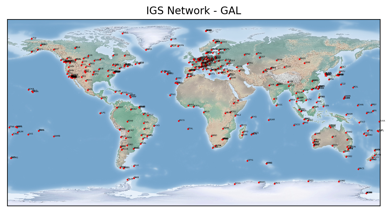
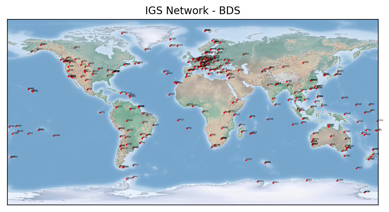
Maps by Constellation
Constellation |
PNG |
PS |
SVG |
|
|---|---|---|---|---|
| GPS (Includes ALL Constellations) |
|
 |
||
| GLO |
|
 |
||
| GAL |
|
 |
||
| BDS |
|
 |
||
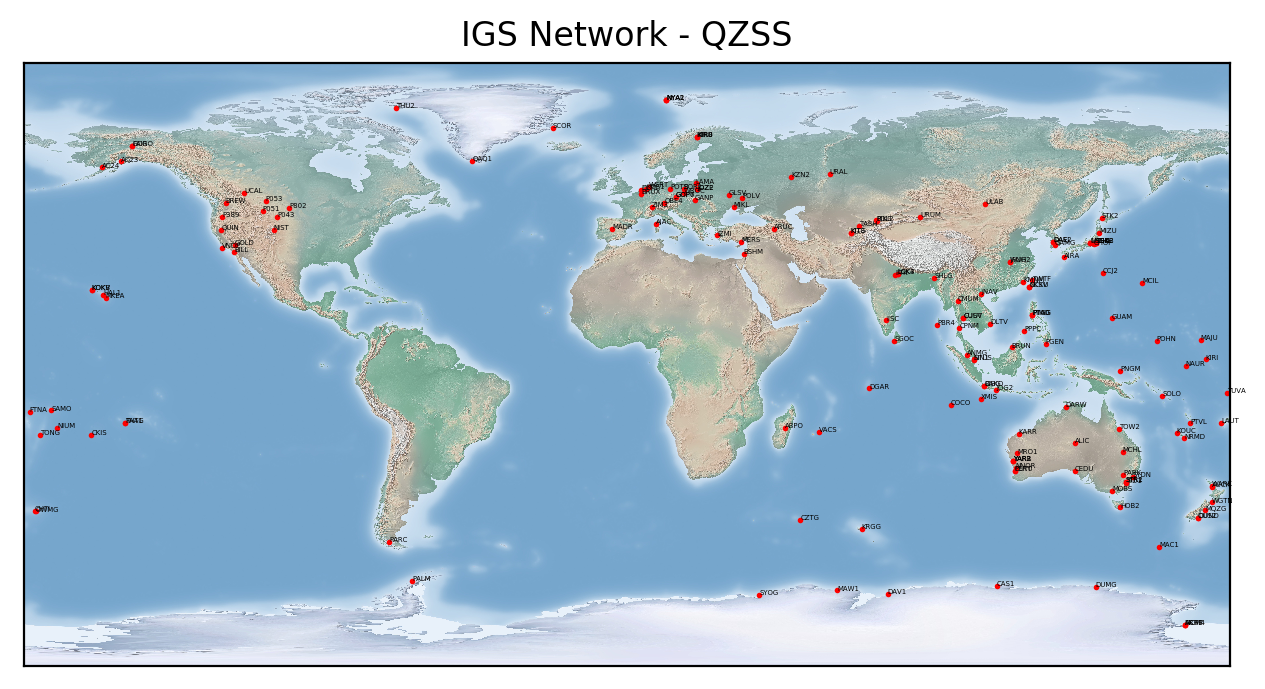
| QZSS |
|
 |
Station List
Constellation |
JSON |
CSV |
|---|---|---|
| ALL CONSTELLATIONS | ||
| ALL CONSTELLATIONS (WITH FORMER IGS STATIONS) | — |
Interested in providing a station for the IGS?
To initiate the application, review the Guidelines for Continuously Operating Reference Stations (CORS) in the IGS document and complete the online application below.
IGS New Site Checklist Assembled by the IGS Central Bureau
This document is intended to serve as a checklist for station owners and operators (SO) in proposing new IGS stations. For the new site application, go to the Propose a New IGS Site tab.
- Where is the station located?
- Is the station currently operating, or planned? If planned, when is the projected date it will become operational?
- What agencies are responsible for installing, managing, operating, and maintaining the station?
- What is the expected operational lifetime of the station? How secure is the funding?
- Will the station replace an existing IGS station? If so, what is the scheduled date of decommissioning? Does the new station offer more capability than the old one?
- Does/will the station meet all of the strictly required IGS site guidelines (https://igs.org/stations/#site-guidelines)?
- What is the data delivery schedule?
- Can you set the receiver for “all in view” tracking (including tracking of satellites set unhealthy)?
- Are there currently operating IGS stations within 1000km? Approximately how many? Does this site offer any capabilities the others do not?
- What IGS product or project will this site benefit, based on its location, instrumentation, and latency?
- Is this station intended to tie a national datum to the ITRF?
- Is there a web page associated with this site (please specify)? If not, please include a site photo or two with this application.
- Is data available on a public server (please specify)?
- Complete and include a draft site log (https://files.igs.org/pub/station/general/blank.log ) according to the instructions (https://files.igs.org/pub/station/general/sitelog_instr.txt ).
- The proposed four-character identifier should also be included, but it remains proposed only until confirmed by the CB. Allowed characters are A-Z and 1-9 (numerals may not be used in the first character). You may perform an initial check of the availability using http://sopac.ucsd.edu/checkSiteID.shtml. If the result is “available” it is certainly available. If this web page indicates it “may already be in use,” it might be available for permanent stations anyway.
- A new 4-char ID is required if a site is moved to a new monument. The 4-char ID has a one-to-one relationship with a monument, except in the case that more than one receiver records data from one antenna.
- Include intended primary and secondary IGS Data Centers (see https://igs.org/data-access/#data-centers ), but it is not necessary to confirm arrangements with the DCs at this stage.
If the site is requested to be added by an IGS Analysis Center, you will be asked to:
- Visit https://itrf.ign.fr/en/network/domes/request to request an IERS DOMES number if the monument has not already been assigned one.
- Contact the primary and secondary Data Centers to confirm that they can accept the data and learn about the transfer mechanisms.
- Revise the site log, if necessary, with confirmed IERS DOMES number, DCs, equipment codes, and 4-character ID. Validate the format of the sitelog. Logs should then be sent to the Central Bureau (cb@igs.org) as plain ASCII text. Notify the CB where a recent RINEX file may be downloaded, or include a sample RINEX header (header only!) in the email to the CB.
- When the site log becomes available in https://files.igs.org/pub/station/log/, begin transmitting RINEX to the selected Data Center(s). The CB will announce the station on IGSMail.
- Subscribe to IGSMail, IGSStation and IGS-SO mail lists to be prepared to send and receive important emails about the station or IGS network as explained in the Site Guidelines.